

Overview
The Grid Tile tool accepts a single input table, and generates the same schema on output. Each input record generates one or more output records, by subdividing the specified spatial object into evenly-tiled parts. The input spatial field is replaced by the subdivided shape on output. Grid tiles are aligned on boundaries that are even multiples of the tile size.
The Grid Tile tool is useful for generating synthetic map subdivisions that can be applied to create heat maps and other visual representations.
Example:
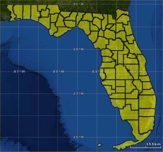
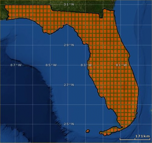
Suppose you start with the county-boundary polygons for the state of Florida from the US Census Bureau (shown here loaded into ESRI ArcGIS Explorer).
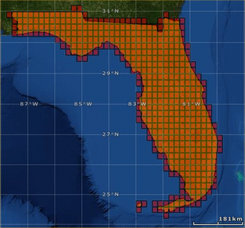
Use the Spatial Input tool to read these shapefiles, and then configure a Grid Tile tool to tile the state of Florida with rectangles measuring 0.2 degrees on each edge.
The resulting shapefile contains a set of evenly-spaced rectangles that completely cover the state of Florida, but no more than needed (shown overlaid on the state of Florida).
Alternatively, you can create tiles that are clipped to the original boundary.
The resulting shapefile looks like this.
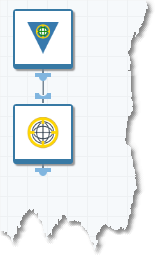
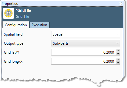
Grid Tile tool configuration parameters
The Grid Tile tool has a single set of configuration parameters in addition to the standard execution options.
|
Parameter |
Description |
|---|---|
|
Spatial field |
Name of the field containing shapes. This is both the input and output. |
|
Output type |
Specifies the output:
|
|
Grid Y/Lat |
Height in decimal degrees of each tile. |
|
Grid X/Lon |
Width in decimal degrees of each tile. |
Configure the Grid Tile tool
-
Select the Grid Tile tool.
-
Go to the Input tab.
-
Select the Spatial field.
-
Select the Output type:
-
Rectangles: the series of rectangles required to completely tile the shape.
-
Sub-parts: the series of rectangles required to completely tile the shape, with each rectangle intersected with the shape.
-
-
Specify the size of the tiles:
-
Grid Y/Lat: height in decimal degrees of each tile.
-
Grid X/Lon: width in decimal degrees of each tile.
-
-
Optionally, go to the Execution tab, and then set Web service options.