

Overview
The Spatial Input tool reads spatial information from the MapInfo TAB and ESRI Shapefile file formats. The Spatial Input tool will read the following data types from a TAB file:
-
Point: a coordinate consisting of an (X,Y) pair, typically latitude and longitude.
-
Polygon: a two-dimensional outline defined by a collection of points.
-
Multi-polygon: two or more polygons in a single data item, which the Spatial Input tool converts to a single polygon by connecting the polygons to each other.
The Spatial Input tool outputs a table consisting of all non-spatial fields defined in the input file, plus a single spatial field named SPATIAL. This field has a type of Spatial, and can only be manipulated by the Spatial Join tool or spatial functions. You can also use spatial files as input when creating a polygon subsystem.
The TAB file format actually consists of a collection of several files with the same name but different extensions. For example, suppose you have a TAB file containing ZIP Code polygons named zip.tab. This is the file you actually configure as the input file. But the files zip.map, zip.id, and zip.dat must also exist in the same directory as the zip.tab file.
Spatial Input tool configuration parameters
The Spatial Input tool has a single configuration parameter in addition to the standard execution options.
|
Parameter |
Description |
|---|---|
|
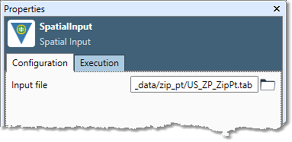
Input file |
A spatial file in TAB, MID/MIF, or SHP format. Spatial file formats cannot be saved to or read from the Data Management Repository. |
Configure the Spatial Input tool
-
Select the Spatial Input tool.
-
Go to the Configuration tab on the Properties pane.
-
Specify the Input file.
-
Optionally, go to the Execution tab and Enable trigger input, configure reporting options, or set Web service options.