

Overview
The Spatial Output tool writes spatial information in the MID/MIF, MapInfo TAB, or ESRI Shapefile file formats. The Spatial Output tool will write the following data types into the file:
-
Point: a coordinate consisting of an (X,Y) pair, typically latitude and longitude.
-
Polygon: a two-dimensional outline defined by a collection of points.
-
Multi-polygon: two or more polygons in a single data item, which the Spatial Input tool converts to a single polygon by connecting the polygons to each other.
The Spatial Output tool outputs a table consisting of all non-spatial fields, plus a single spatial field named SPATIAL. This field has a type of Binary/Spatial, and can only be manipulated by the Spatial Join tool or spatial functions.
Spatial Output tool configuration parameters
The Spatial Output tool has a single set of configuration parameters in addition to the standard execution options.
|
Parameter |
Description |
|---|---|
|
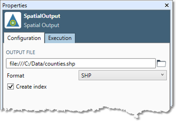
Output file |
The output file name. These spatial formats cannot be saved to or read from the Data Management Repository. |
|
Format |
Output file format. This is optional and defaults to TAB. |
|
Create index |
If selected, will create an index appropriate to the Format. |
|
Min latitude
|
MapInfo's TAB format stores coordinates as 32-bit integers, which are scaled relative to a boundary rectangle. By default, Data Management uses a boundary rectangle that is appropriate for data expressed in latitude/longitude degrees. If Format is TAB, and your data uses an alternative coordinate system like UTM rather than latitude-longitude coordinates, you should select Override default and define a latitude-longitude boundary large enough to contain all your data points. Failure to do this may result in truncation errors and a loss of precision in the output data. |
Configure the Spatial Output tool
To configure the Spatial Output tool:
-
Select the Spatial Output tool.
-
Go to the Configuration tab on the Properties pane.
-
Specify the Output file.
-
Select the Format: TAB, MID/MIF, or SHP.
-
If you specify Format as SHP, you can optionally select Create index to create a shapefile index.
-
If you specify Format as TAB and your data uses an alternative coordinate system like UTM rather than latitude-longitude coordinates, select Override default and define a latitude-longitude boundary large enough to contain all your data points.
-
Optionally, go to the Execution tab and Enable trigger output, configure reporting options, or set Web service options.